
Classement

Contenu populaire
Affichage du contenu avec la meilleure réputation le 2025-07-21 dans toutes les zones
-
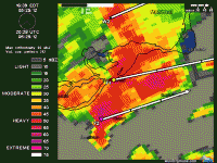
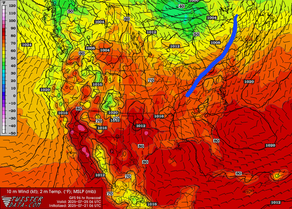
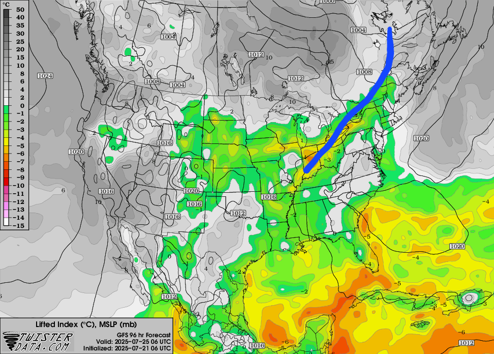
Orages possiblement forts dans la soirée/nuit du Jeudi 24 au vendredi 25 Juillet. Le timing/dynamique pourrait changer d'ici là.. Discussion du SPC: However, as a notable mid-level low continues slowly east of Hudson Bay, across northern Quebec and Newfoundland and Labrador, a belt of seasonably strong westerly mid/upper flow may be maintained across Ontario and Quebec this Thursday through Friday. Along the favorably sheared southern fringe of this regime, seasonably moist low-level air advecting ahead of a stalled to southward advancing frontal zone may contribute to sufficient destabilization for the evolution of organizing thunderstorm clusters capable of producing swaths of damaging wind gusts. The extent to which this may impact U.S. portions of the Great Lakes into New England remains unclear.
 2 points
 -
Ça serait le fun d'avoir une semaine de beau temps non stop !!!1 point